Re-mapping Smith College
Re-mapping Smith College

Re-designing a Campus Map
Academic Project - Independent
Timeline
Spring 2014
Location
Northampton, MA
Tools
ArcGIS, Google Maps, Smith Archives, Illustrator, Photoshop
Academic Project - Independent
Timeline
Spring 2014
Location
Northampton, MA
Tools
ArcGIS, Google Maps, Smith Archives, Illustrator, Photoshop
Project Overview
Frustrated with the inefficient and confusing map provided by Smith College, at the time, before any school campuses were available on Google Maps or any other online map platforms, I learned more about cartography in an effort to improve it.
The Map App, a continuation of this project ︎︎︎
Award
2014 Winner, The Susan Cohen ‘62 & Paula Deitz ‘59 Prize︎︎︎
An annual award given in the Landscape Studies department at Smith College for excellence in a thesis, paper, or project that examines the science, design, or culture of the built environment.
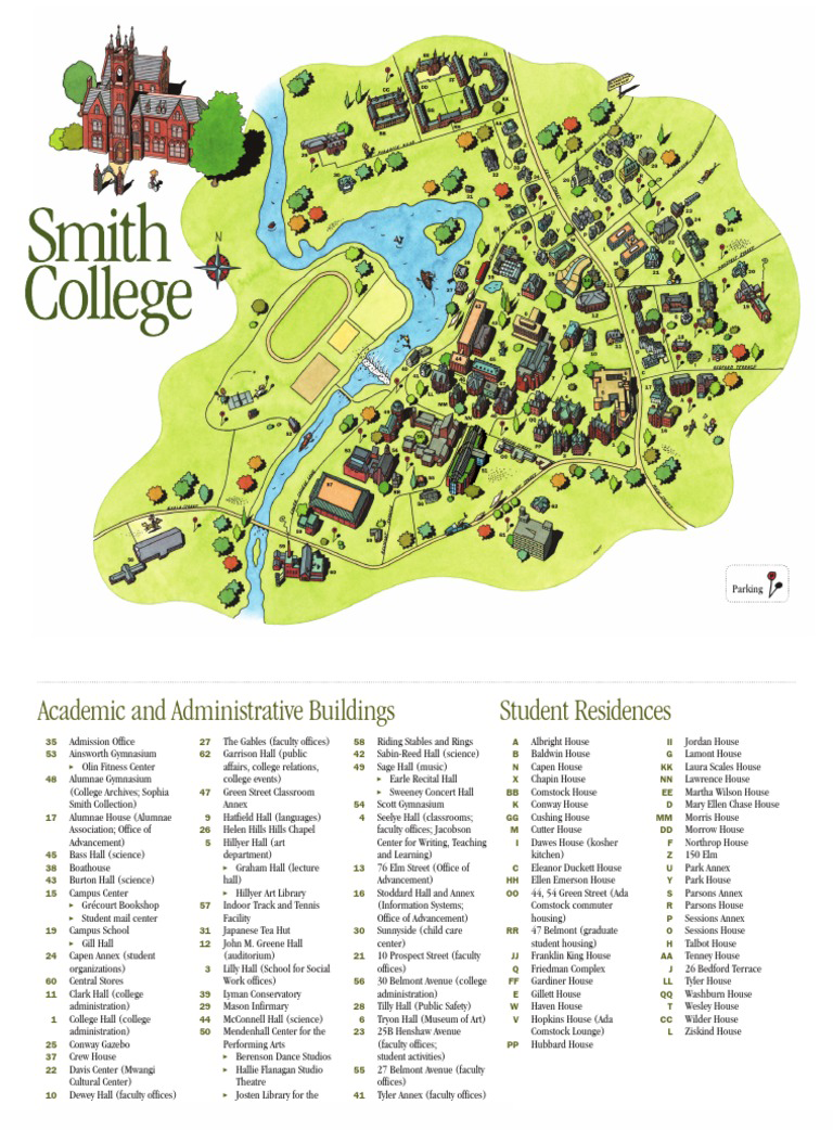
The Original Map
This is the original campus map, which was posted around campus and handed out to visitors and new students for 10 years (2004-2014).
5 main issues with the original map:
- Not all pathways shown
- Not drawn to any scale and no North point (for orientation)
- #-labeling system makes it hard to decipher buildings quickly
- Excludes buildings that aren’t owned by Smith
- Hard to distinguish building types
The Archives
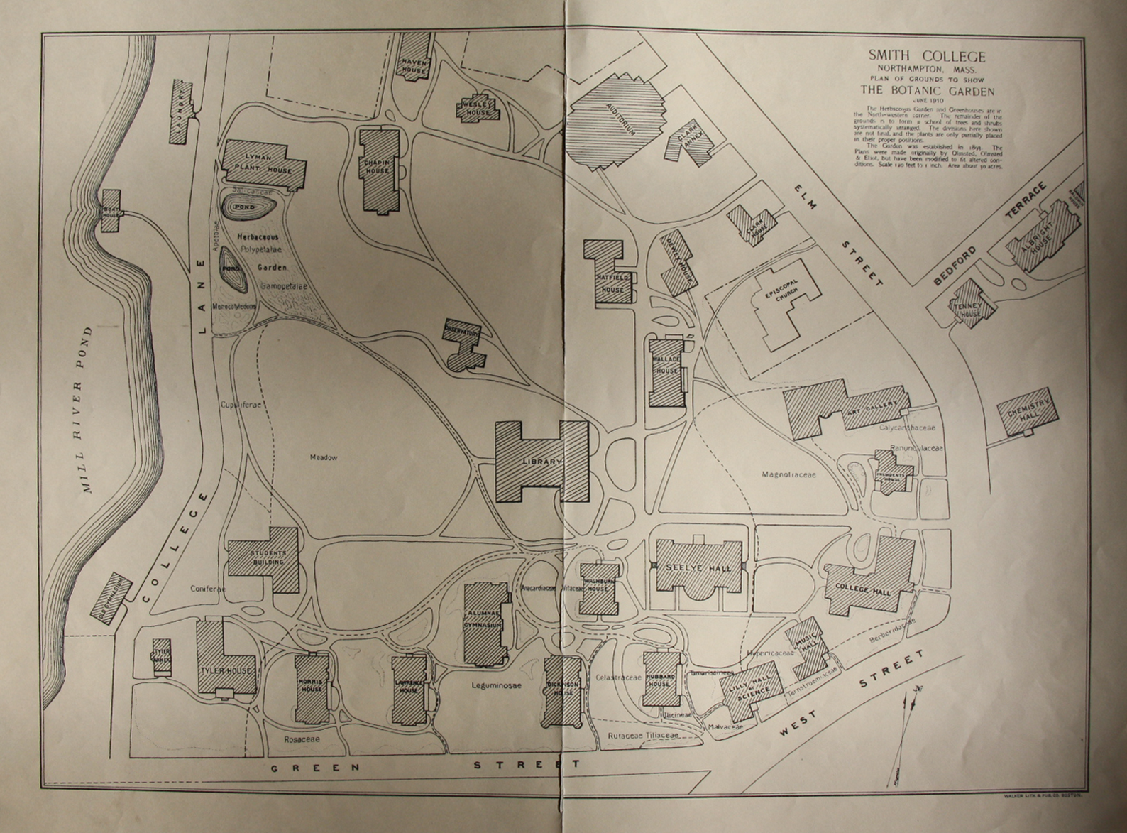
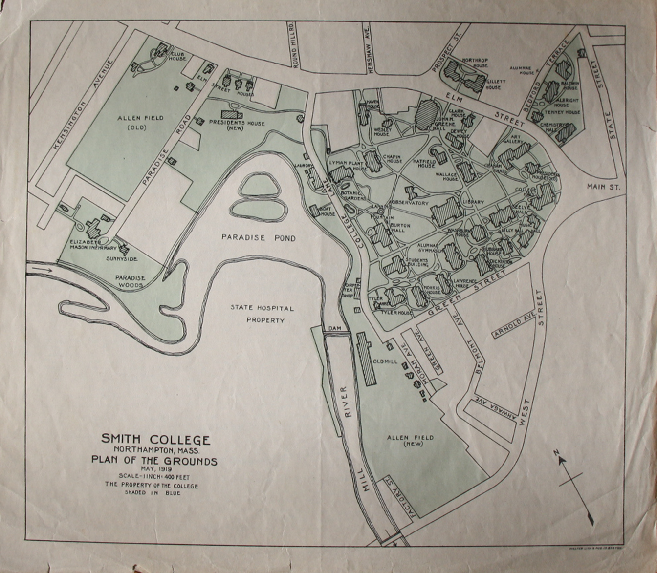
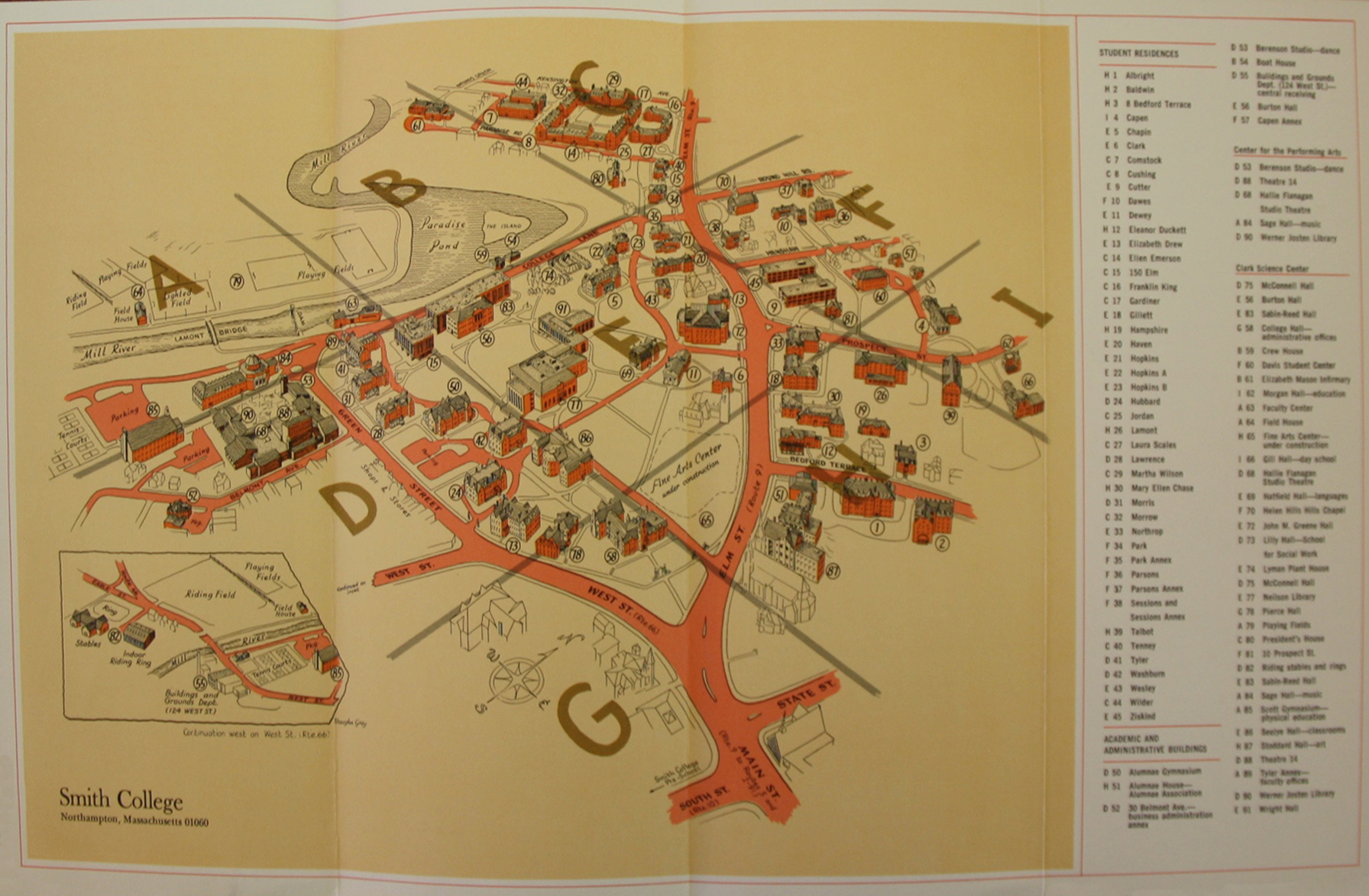
Though the current map had been in circulation for the past 10 years, I wanted to see what had predated it. Going through the Smith College Archives, I found a wide variety of maps each showcasing a different view of the campus. Shown to the left are maps from 1910, 1919, and 1971 of the campus. These only touch the surface of the diversity of styles and cartographic choices made over the years.
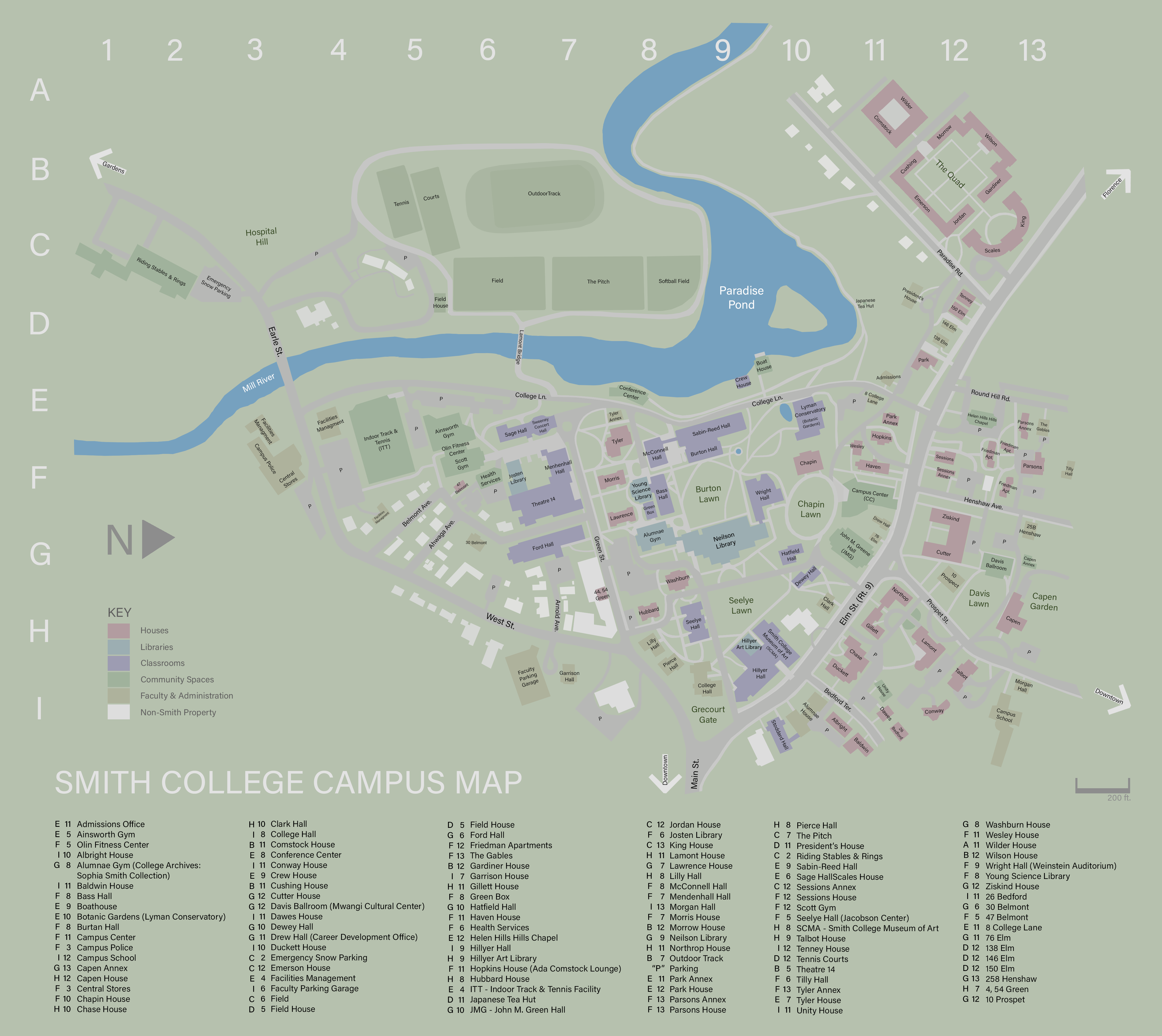
After studying these maps, speaking with students about their pain points, and learning more about what makes a strong map, I came up with:
4 guides for a successful map:
1. GRIDS help improve navigation by making buildings easier to find
2. COLOR can organize the map by building type, helping navigation especially if the type of building is known by the user
3. ALL PATHWAYS & buildings on the campus should be included to be as clear as possible and add context (especially for campuses with winding roads)
4. LABELING buildings directly on the map instead of using reference letters/numbers expand usage and reduces back and forth between the map and legend
The Final Map
© 2022 Emily Kim
